


Project Overview
- Collaborated as part of a team to develop a VR application based on a detailed 3D model of a selected lunar region, aiming to make the surface digitally explorable.
- Took primary responsibility for generating a high-fidelity terrain model of the Moon, focusing on accuracy and visual realism.
- Utilised NASA’s LROC Digital Terrain Model (DTM) data ↗ processed through the GDAL library in Python and C++, to reconstruct the surface geometry.
- Incorporated high-resolution orthographic imagery from the same dataset to enhance visual detail, particularly for texturing purposes.
- Applied a series of image processing techniques using OpenCV and NumPy to refine the orthomaps, these included delighting, noise reduction, and other enhancements to improve texture clarity and consistency.
- Further improved texture resolution by applying a GAN-based super-resolution method ↗ increasing visual fidelity for VR rendering.
- The model showcases a 1024m × 1024m section of the lunar surface. A lower-resolution version is viewable via the Sketchfab embed above; high-quality textures and the enhanced version can be accessed through the download link provided below.
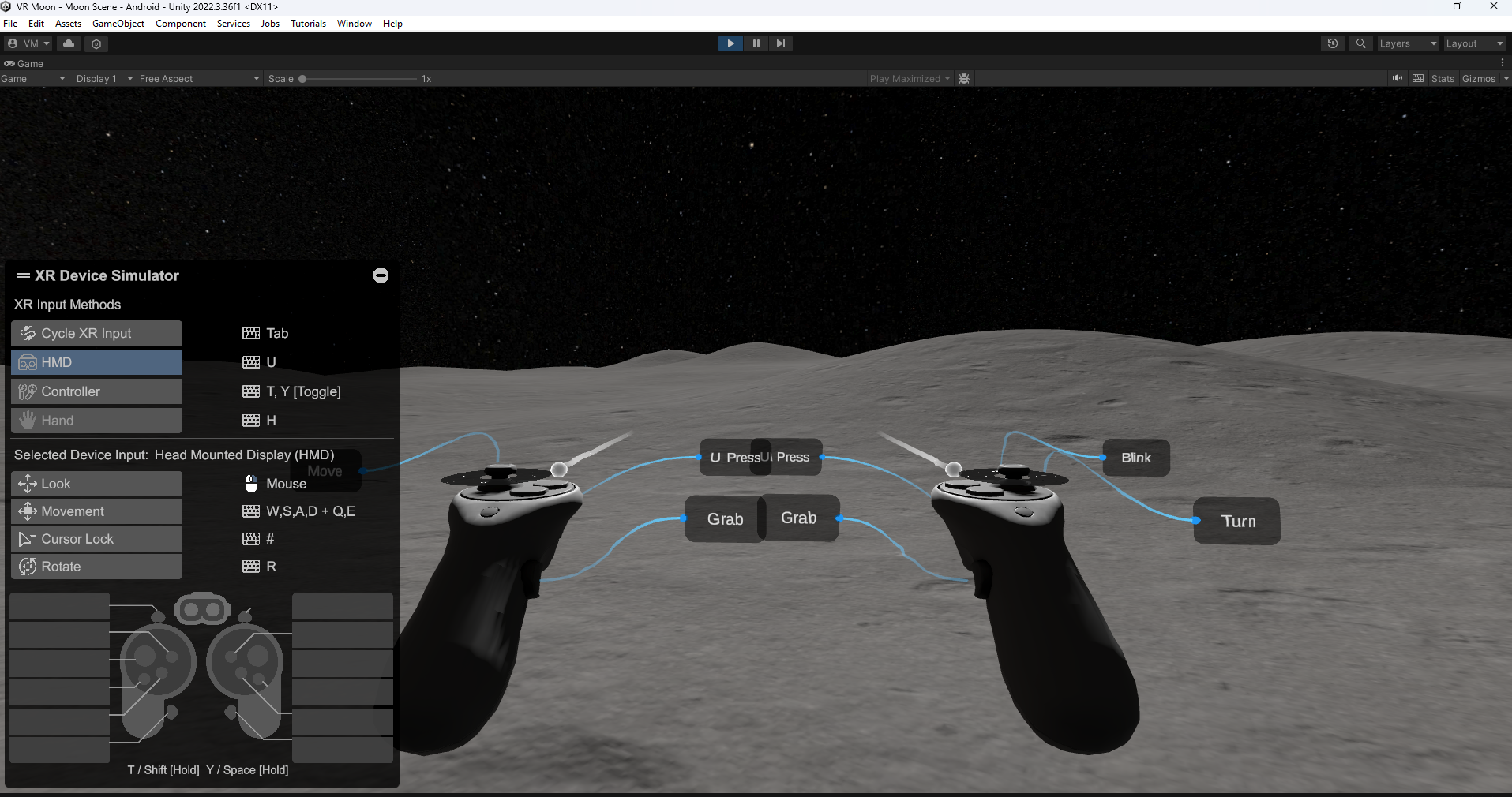
- Finally, the data-driven Moon model was integrated into a Unity VR application and successfully deployed to the Meta Quest 3 headset, allowing for an interactive and immersive exploration experience.